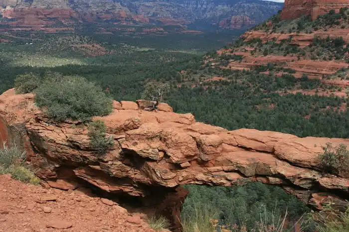
A Natural Bridge is One of Sedona’s Most Popular Hikes
Devil’s Bridge is a fantastic hike and one of Sedona’s most popular hikes. It starts out fairly level and then gives your legs a workout on the rocky stairs.
This post may contain affiliate links. Please read my disclosure policy.
Where is Devil’s Bridge Trailhead & How to Get There
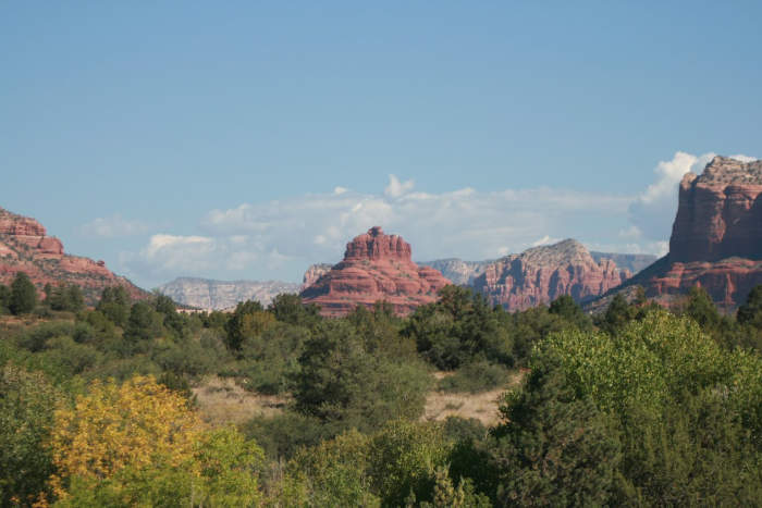
Devil’s Bridge is in Sedona, Arizona.
If traveling from Phoenix to 179 you will go west on 89A at the “Y” intersection. Turn on Dry Creek Road and follow the road for two miles.
At this point Dry Creek Road or Forest Road 152 will turn to your right. This part of the road is not maintained. Maps are available for the northwest Sedona area at the Visitor Center and Forest Services.
Parking Options
If you have a high clearance vehicle you can drive down the unmaintained part of the road for 1/3 of a mile to reach a paved parking area. Somewhere around 40-50 vehicles can park here. From this parking area it is about a mile hike up the road to the Devil’s Bridge trailhead.
The other option is to continue driving for another mile and park closer to the trailhead. The terrain is rough and you will need a high clearance vehicle.
You will notice a sign for the trail head . On your right there will be a small parking area where maybe five or six vehicles can park. If you’re lucky there might be a spot open. From this spot it is about a one mile hike to Devil’s Bridge.
If there are no parking spots at either of these locations you will have to look for a spot to pull off to the side on Boynton Pass Road.
Hike Devils Bridge in Sedona
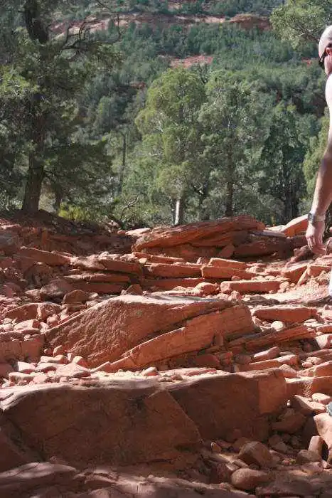
This moderate hike is just under 2 miles round trip. You will gain about 350 feet in elevation. The trail starts out wide and fairly level, but it quickly turns into a steep rocky climb. After about .75 of a mile, you will reach a division in the path.
There are no signs, but you will come to a small cavern of rocks with a spot you can crawl under. If you want to see and walk across Devil’s Bridge this topside path is the one to take. This path will lead you up a rocky staircase.
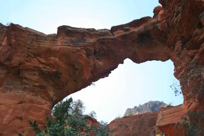
View the Bridge from Below
If you want to see the bridge from underneath take the path to the left. This will take you to the base of the bridge.
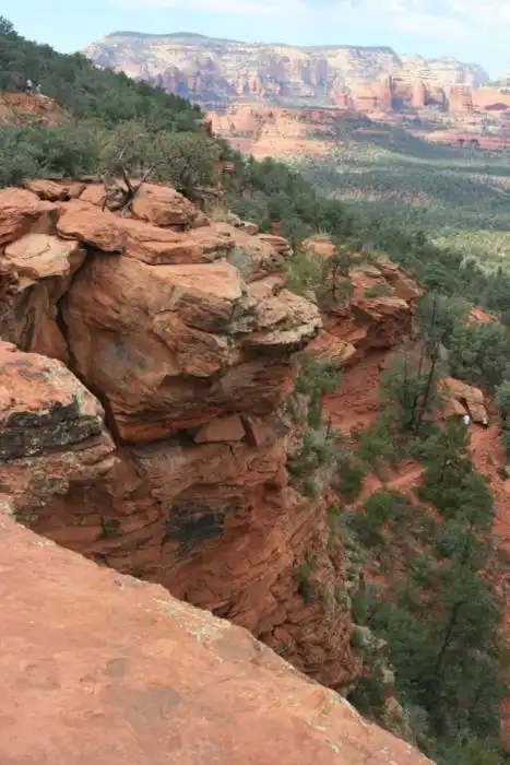
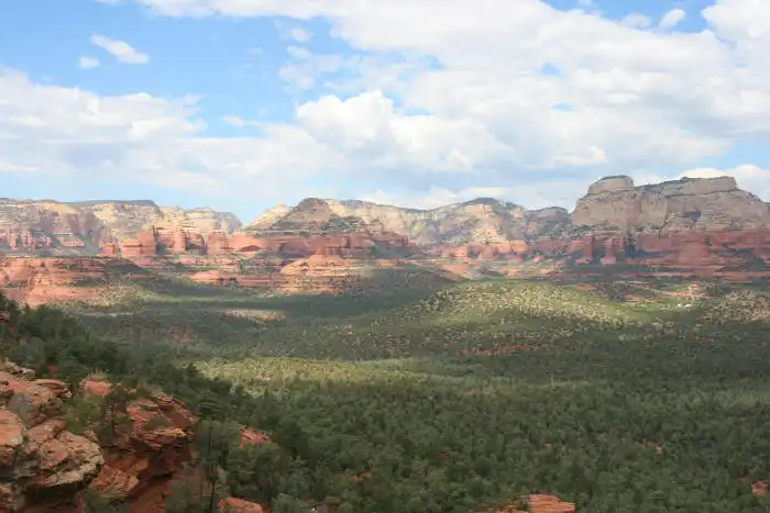
If you follow the trail up the rocky staircase towards the bridge you will come to a large open area. This is a great spot to take a break, drink some water and take in the views. From here you will have a great view of Devil’s Bridge and the surrounding area. If you want to reach the bridge continue up to the next level.
Devil’s Bridge is around 50 feet high and it is wider than it appears from afar. You can walk across it. The views from Devils Bridge are incredible.
Distance: 1.6 miles round trip from trailhead. If you park in the first parking lot (paved) it is an additional 2 miles round trip or nearly 4 miles total.
Elevation Change: 350 feet
Fee: Non-fee site
Looking for more gorgeous hikes in Sedona? Check out our blog post on Sedona, Arizona Hikes with the Best Views.
First Time Visitor to Sedona? Check out our blog post on An Essential Guide to Sedona Arizona for First Time Visitors
- Book a Flight to Sedona: To Sedona the closest airport is Flagstaff Pulliam and Sky Harbor in Phoenix.
- Rent a Car to Sedona: You can rent a car in Flagstaff or Phoenix and drive to Sedona. Alternatively you can leave the driving to someone else and take a bus tour from Phoenix to Sedona.
- Where to Stay in Sedona: Choose from hotels, motels, resorts, airbnb, vrbo, cabins, and camp sites in Sedona.
- Tours to Take in Sedona