Driving the Trail Ridge Road in Rocky Mountain National Park
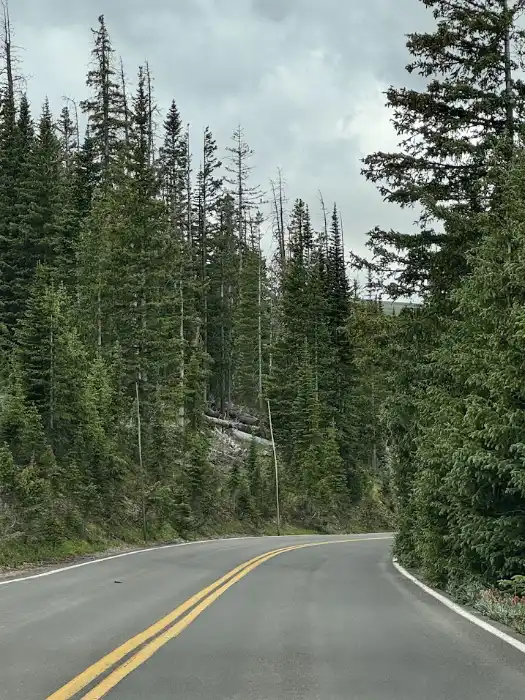
If you’re looking for a scenic drive that delivers big mountain views without needing hiking boots Trail Ridge Road is the one. This is the kind of drive (sheer cliffs) that will make you slow down.
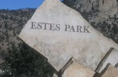
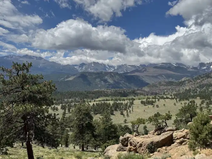
Stretching from Estes Park to Grand Lake, Colorado, this route takes you right through the heart of Rocky Mountain National Park. And not just through it, but above it. At over 12,000 feet, Trail Ridge Road climbs higher than any other paved road in the country. You’re driving above the tree line, where the trees give way to sweeping tundra, distant peaks, and skies that feel close enough to touch.
This post may contain affiliate links. Please read my disclosure policy. If you purchase after clicking an affiliate link we may receive small commission at no cost to you.
In this post, I’m sharing what it’s like to drive Trail Ridge Road from east to west, with tips on the best overlooks, quick stops that are worth your time, and a few things to keep in mind for the journey. Whether you’ve got a weekend to spare or you’re already planning a longer loop through Colorado, this drive makes a beautiful (and very doable) addition to your itinerary.
So grab your favorite road trip snacks (there is only one place to grab snacks within the park), check the weather, and let’s head up into the clouds.
What to Wear
We drove Trail Ridge Road in the month of July. When we left Estes Park it was a beautiful 72 degrees with a breeze. By the time we reached the Alpine Visitor Center, 26 miles later, it was 47 degrees and windy. Even in July I would recommend layering your clothes: good walking or hiking shoes, pants, a short sleeve shirt topped with a jacket or a flannel. If you’re head tends to get cold you may want a beanie hat. It is cold at the top.
Rocky Mountain National Park Entrances
- Beaver Meadows Entrance (main entrance in Estes Park,CO)
- Fall River Entrance
- Wild Basin Entrance
- Grand Lake Entrance
Trail Ridge Road – Best Easy Stops and Views
On our last visit to Rocky Mountain National Park we decided to drive the full length of Trail Ridge Road, or Highway 34, from Beaver Meadows Entrance to the Grand Lake Entrance. This 48-mile road takes about 1.5 hours to drive one way if you don’t stop.
Of course, we stopped so this route took us most of the day. The most challenging to drive sections are found between Rainbow Curve and the Alpine Visitor Center. If you’re afraid of heights this may not be the best road for you to drive. If you’re the passenger you may want to sit on the right side of the vehicle to avoid looking down. There are no guard rails and the drops are steep.
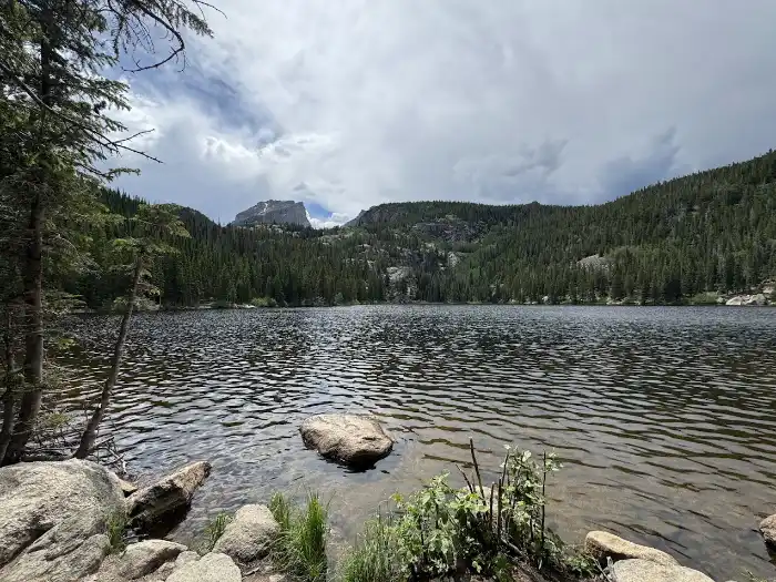
Bear Lake Corridor
After you enter the park, the first road on your left ( . 2 miles) will be for the Bear Lake Corridor. Save this area for another day. If you’re building a longer itinerary in the park, the Bear Lake Corridor is another popular area to explore on a different day.
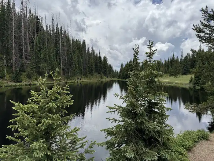
The Bear Lake corridor is especially beautiful, however if visiting between May through October you will need a timed entry to access this area. We explored the Bear Lake Corridor on a different day during our trip.
- Morraine Park
- Alberta Falls
- Bear Lake
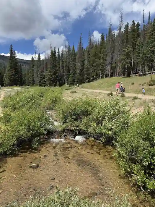
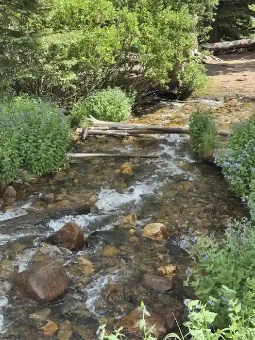
Just under 6 miles from the entrance is the first stop on Trail Ridge Road, Hidden Valley.
Hidden Valley
One of the first parking areas is at Hidden Valley. This is the headquarters for the junior rangers. Hidden Valley Creek runs near the parking lot. Stop at Hidden Valley for a quick restroom break and to stretch your legs by the creek.
Many Parks Overlook
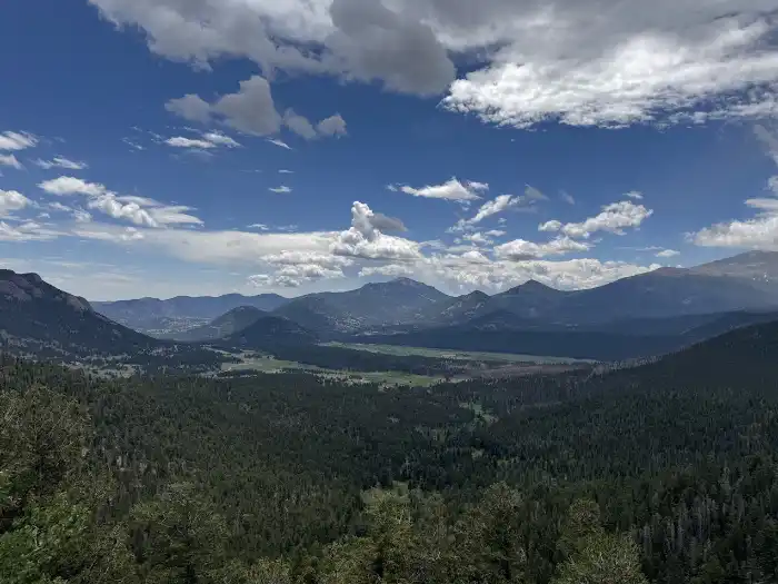
A couple miles further up the road is the Many Parks Overlook. This overlook offers sweeping views of several park regions all at once. From this high perch on Trail Ridge Road, you can look out over Horseshoe Park, Moraine Park, and Beaver Meadows. They are all broad valleys carved by ancient glaciers.
Rainbow Curve Outlook
Just six miles ahead to the Rainbow Curve Outlook. The view here is from the tree line you can see Horseshoe Park, Deer Mountain and the Mummy Mountain Range. It was pretty windy by the time we reached this overlook. There is a restroom at this overlook.
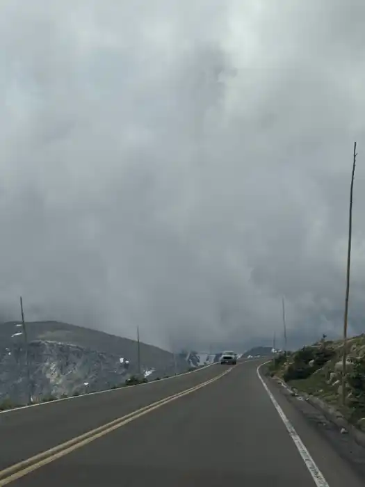
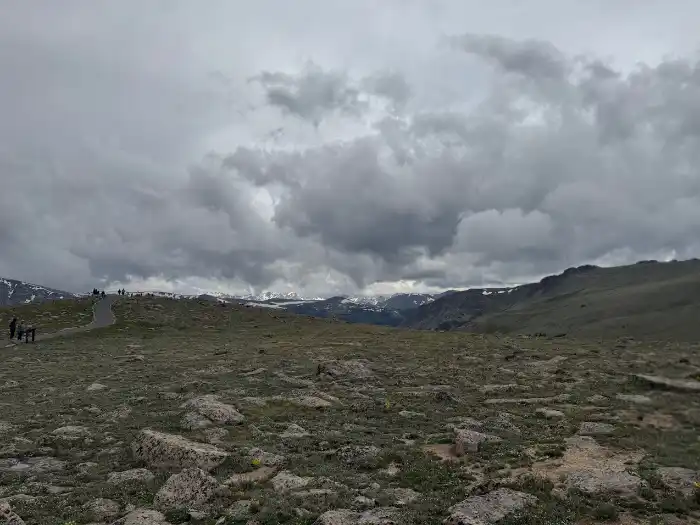
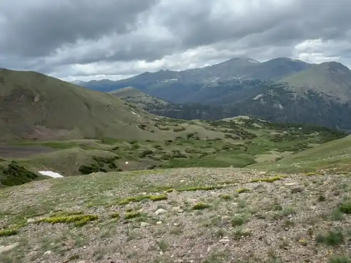
After the Rainbow Curve overlook you’re continuing to climb in elevation and this is where I noticed a distinct change in the landscape and in the weather. During the three miles between here and the Forest Canyon Overlook, the sky darkened and we saw pockets of snow on the side of the road as we climbed above the tree line.
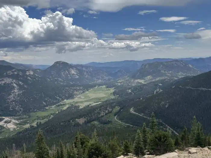
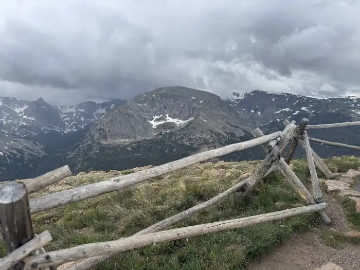
Forest Canyon Overlook
By the time you reach this overlook, the temperature drop is pretty significant. I started wearing my jacket at this point. It was really windy when we were here. The parking lot area is larger than most of the overlooks and the paved trail from the parking lot to the overlook provided easy access.
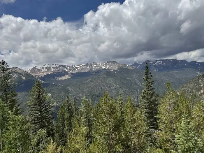
I think Forest Canyon Overlook was one of the best overlooks on the road. From here you views of the alpine meadow (elk were grazing while we were there), view of snow capped mountains and forests as well as wildflowers.
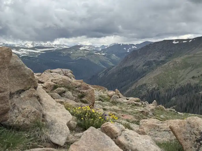
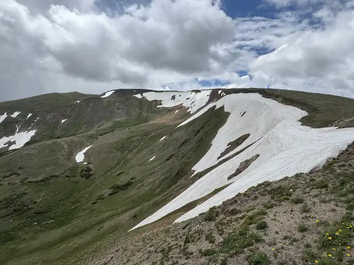
Rock Cut
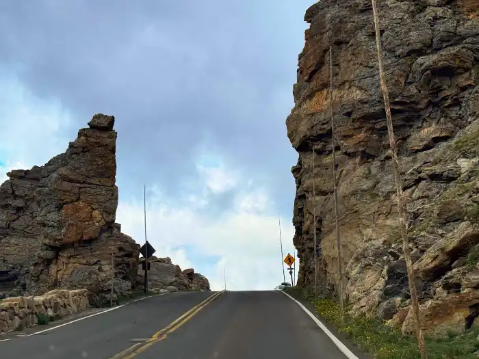
The terrain changes after the rock cut and as you get closer to Alpine Visitor Center.
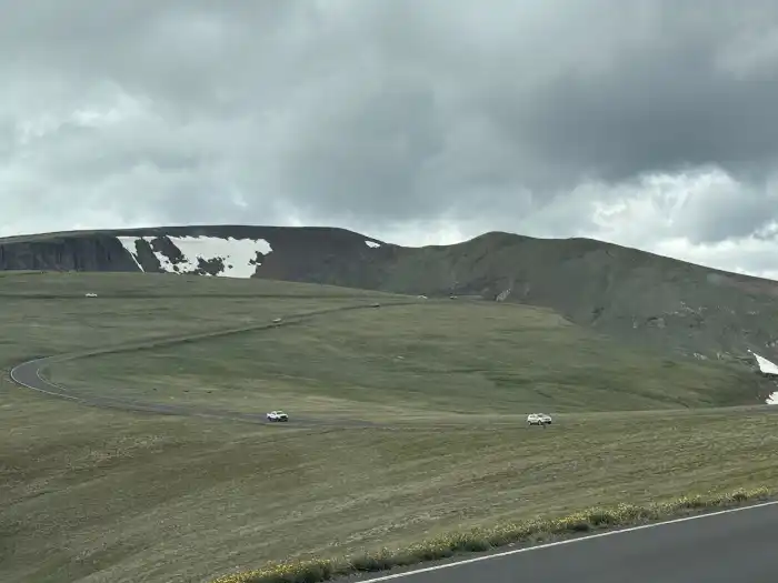
Lava Rock Overlook
By the time you reach this overlook the highway views turn from less forested cliffs to more alpine meadows. Black basalt lava flows framed by alpine meadows and jagged peaks. There were still patches of snow here and I saw a marmot sitting on a rock at this overlook.
Alpine Visitor Center
Just one mile from the highest elevation on Trail Ridge Road you’ll find the Alpine Visitor Center and Trail Ridge Store. There is a large parking area here.
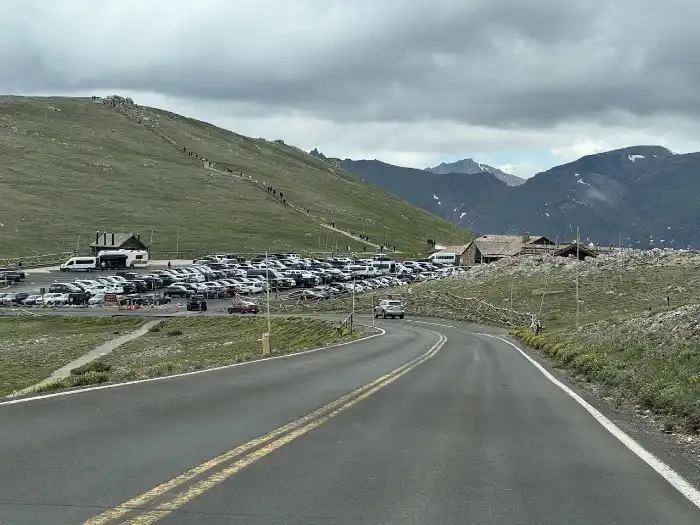
You can definitely feel the temperature difference at this point. It was a cool 47 degrees when we reached the visitor center versus 72 degrees when we started the route in Estes Park.
Check out the visitor center exhibits and take a look at the view below. Then stop by the Trail Ridge Store (just next door) to grab a snack, some cider or a souvenir item.
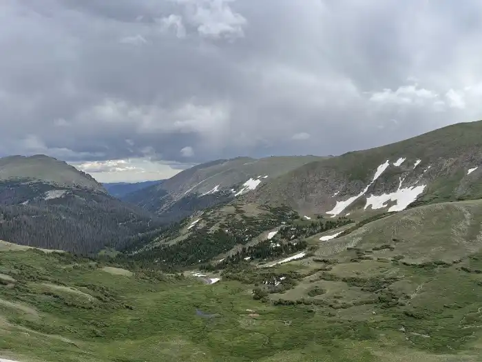
Lake Irene
Minus Bear Lake Corridor, I thought Lake Irene was the most scenic lake on Trail Ridge Road. There is a spot to picnic here. Stretch your legs by taking a quick hike from the parking area to Lake Irene.
Farview Curve Overlook
At 10,120 feet Farview Curve Overlook gives you a breathtaking panorama of the Colorado River headwaters, the Never Summer Mountains, and the Kawuneeche Valley below. There is a nice size parking area here and a rock wall barrier.
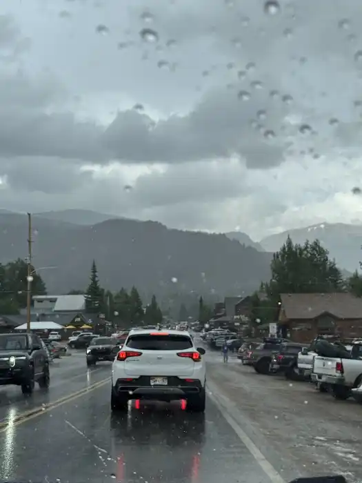
After this stop, the plan was to hikes Adams Falls Trail. However it was raining heavily by the time we reached this area and there was so much traffic in Grand Lake we decided to visit this one at another time. Instead we drove to Hot Sulpher Springs for a relaxing soak and the rain cleared up by the time we got there.
Best Time to Drive Trail Ridge Road
July and August are the best months to take a drive on Trail Ridge Road. If you want to drive the entire length of the road these two months are your best bet, due to the possibility of snow in the mountains. Snow may impact the route in June and September, so it is possible only parts of the road will be accessible. The road is generally open Memorial day to mid-October.
Places to Eat at Rocky Mountain National Park
The Trail Ridge Store next to the Alpine Visitors Center is the only spot in the park that offers snacks and drinks. There are plenty of spots to choose from in Estes Park or Grand Lake.
Where to Eat Before or After Your Drive
Both Estes Park and Grand Lake offer many choices in food. We ate some really good pizza at Estes Park Distillery before we started our trip. Some other popular places to eat include:
EV Chargers Near Rocky Mountain National Park
There is a Tesla Supercharger in the Stanley Hotel parking lot. Grand Lakes has several ChargePoint Charging Stations. Learn more about Designated a Colorado Electric Byway
Pet Day Care
Dogs are not allowed on any trails in Rocky Mountain Park. There are several day cares for dogs in Estes Park.